AEC Collection / Infrastructure design
Deliver better infrastructure, together
Infrastructure Design
Why civil engineers use the AEC Collection
Unlock your best infrastructure designs with BIM and CAD software.
Make better design decisions
Work with connected tools for concepting, design, analysis, and optimization to better meet design requirements and enhance client satisfaction.
Streamline team coordination
Adopt integrated workflows that enable design teams to work more efficiently across locations and disciplines, minimizing disruptions throughout the project.
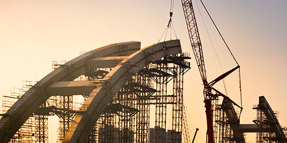
Keep constructability top of mind
Coordinate effectively from design to construction to reduce risks, minimize RFIs, and ensure constructability.
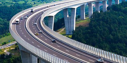
Road and highway engineering
Efficiently move road and highway projects from preliminary design and visualization to simulation, analysis, and detailed engineering. (video: 3:42 min.)
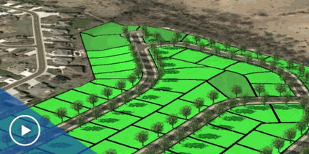
Land development
Tools for reality capture, conceptual design, analysis, and construction documentation help support your land development projects. (video: 2:22 min.)

Plant design
Use tools for intelligent, spec-driven drafting and modeling, performance analysis, and construction-ready isometrics for fabrication and installation. (video: 3:52 min.)
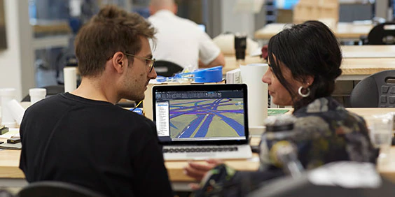
How civil engineers use the AEC Collection
Transportation
Connect multidiscipline design workflows
Establish collaborative practices across disciplines, coordinate horizontal design and vertical structures, and drive more positive outcomes on transportation projects.
Create visual logic to design workflows and automate tasks.
Intuitive 3D sketching app with native Revit interoperability.
Building performance analysis software.
Generate accurate existing conditions with point cloud or mesh
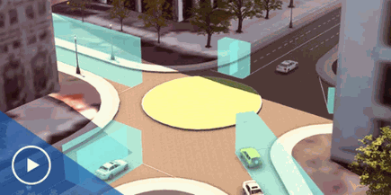
Site Design
Boost workflows from field to finish
Accelerate workflows with tools that connect the capture of existing site conditions data to conceptual and detailed design processes across various project types.
Generate accurate existing conditions with point cloud or mesh
Visualize and analyze site projects in a 3D conceptual environment
Create 2D CAD designs that you can bring into Revit
Water
Deliver more sustainable water infrastructure
Connect multidiscipline teams to deliver water infrastructure projects with greater environmental, social, and economic benefits.
Detect and manage clashes between pipes and facility structures
Model the facilities that hold pump and treatment equipment with BIM
Visualize design intent and the state of the project’s progress